

Newsroom
-
China Focus: AI Algorithm Maps out Detailed Carbon Emissions for City Managers
BEIJING, April 23 (Xinhua) -- A team of Chinese scientists are using artificial intelligence (AI) tech to accurately map out carbon emissions in big cities. This is an attempt that may help urban managers make more evidence-based plans in fighting global warming.
25 Apr 2024 -
Satellite Helps Distinguish Various Sources of Light
Chinese scientists have turned to science satellite SDGSAT-1 as a tool to manage the impact of modern illumination sources on the urban environment, according to a recent study. The study, conducted by scientists from the Aerospace Information Research Institute of the Chinese Academy of Sciences, was published recently in the International Journal of Digital Earth.
02 Mar 2024 -
Forest, Ice Loss Observed over 35 Years
Significant changes in global land cover have occurred from 1985 to 2020, with both forest destruction and restoration accelerating, and impermeable surfaces continuing to expand, according to an annual report on global ecological and environmental remote sensing monitoring released by the National Remote Sensing Center of China on Friday.
06 Jan 2024 -
Global Production of Bulk Grain, Oil Crops Sees Year-on-year Increase
BEIJING, Jan. 5 (Xinhua) -- The global production of bulk grain and oil crops saw a year-on-year increase in 2023, according to the 2023 annual report on the remote-sensing monitoring of the global ecological environment, which was made public on Friday.
06 Jan 2024 -
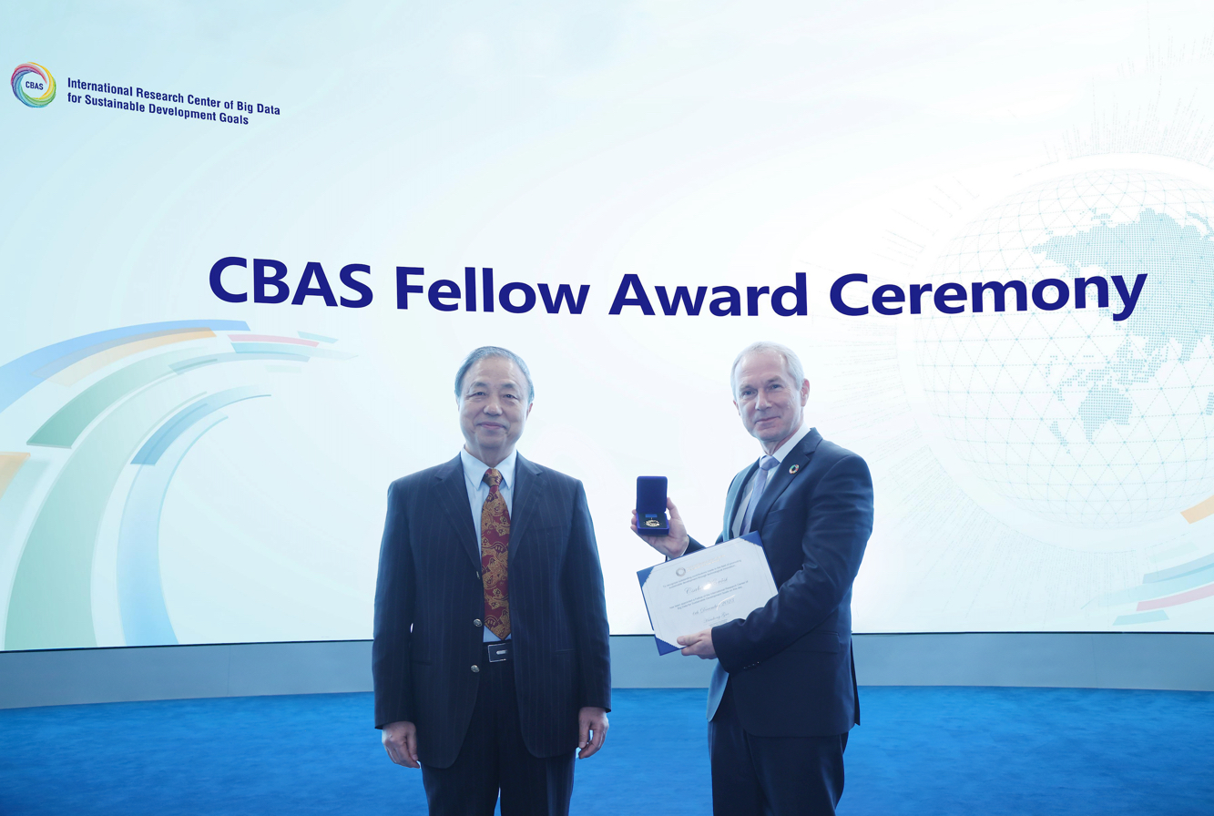 Former UN General Assembly President Visits International Research Center of Big Data for Sustainable Development Goals
On December 6, 2023, Csaba Kőrösi, the 77th President of the United Nations General Assembly, visited the International Research Center of Big Data for Sustainable Development Goals (CBAS).
07 Dec 2023 -
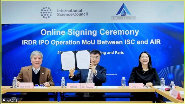 AIR, ISC Sustain Partnership on International Program Office for Integrated Research on Disaster Risk Program
In a virtual signing ceremony held on November 29, 2023, Prof. WU Yirong, the Director-General of the Aerospace Information Research Institute (AIR) under the Chinese Academy of Sciences (CAS), inked a Memorandum of Understanding with Salvatore Aricò, the Chief Executive Officer of the International Science Council (ISC), marking the commencement of International Program Office (IPO) for the Integrated Research on Disaster Risk (IRDR) Program which has stepped into the second phase.
01 Dec 2023

