

Newsroom
-
 Satellite Images Show Forest Changes in China
The following are a batch of historic images showing how China turning its land green by launching key projects such as the Three-North Shelterbelt Forest Program, the Farmland-to-Forest Program, as well as the control of the sources of dust storms affecting the cities of Beijing and Tianjin.
21 Mar 2022 -
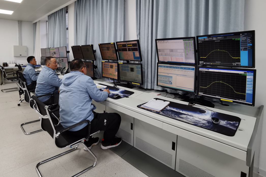
China Receives Data from Land Observation Satellite
BEIJING, March 8 (Xinhua) -- China has received the first batch of data from its newly launched land observation satellite, scientists in charge of the spacecraft said Tuesday.
09 Mar 2022 -
 China Receives Data from Newly Launched L-SAR 01B Satellite
On March 5, the China Remote Sensing Satellite Ground Station successfully received the first data transmitted from the newly launched land observation satellite L-SAR 01B, according to the Aerospace Information Research Institute (AIR), Chinese Academy of Sciences.
07 Mar 2022 -
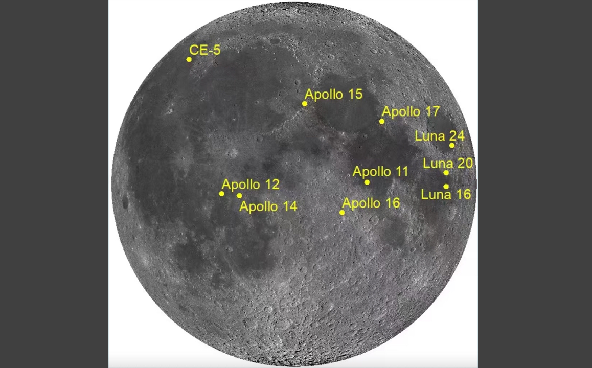 Chinese Researchers Update Lunar Chronology Model
BEIJING, Feb. 17 (Xinhua) -- Chinese researchers have updated the most widely used chronology model to provide more accurate time scales for lunar and planetary research.
18 Feb 2022 -
 Researchers Update Model for Lunar Chronology
Chinese scientists have made an important new finding that is expected to further advance studies of the moon and planets inside the solar system.Researchers at the State Key Laboratory of Remote Sensing Science, jointly run by the Chinese Academy of Sciences and Beijing Normal University, recently upgraded a lunar chronology model by measuring and analyzing samples brought back from the moon by China's Chang'e 5 mission.
17 Feb 2022 -
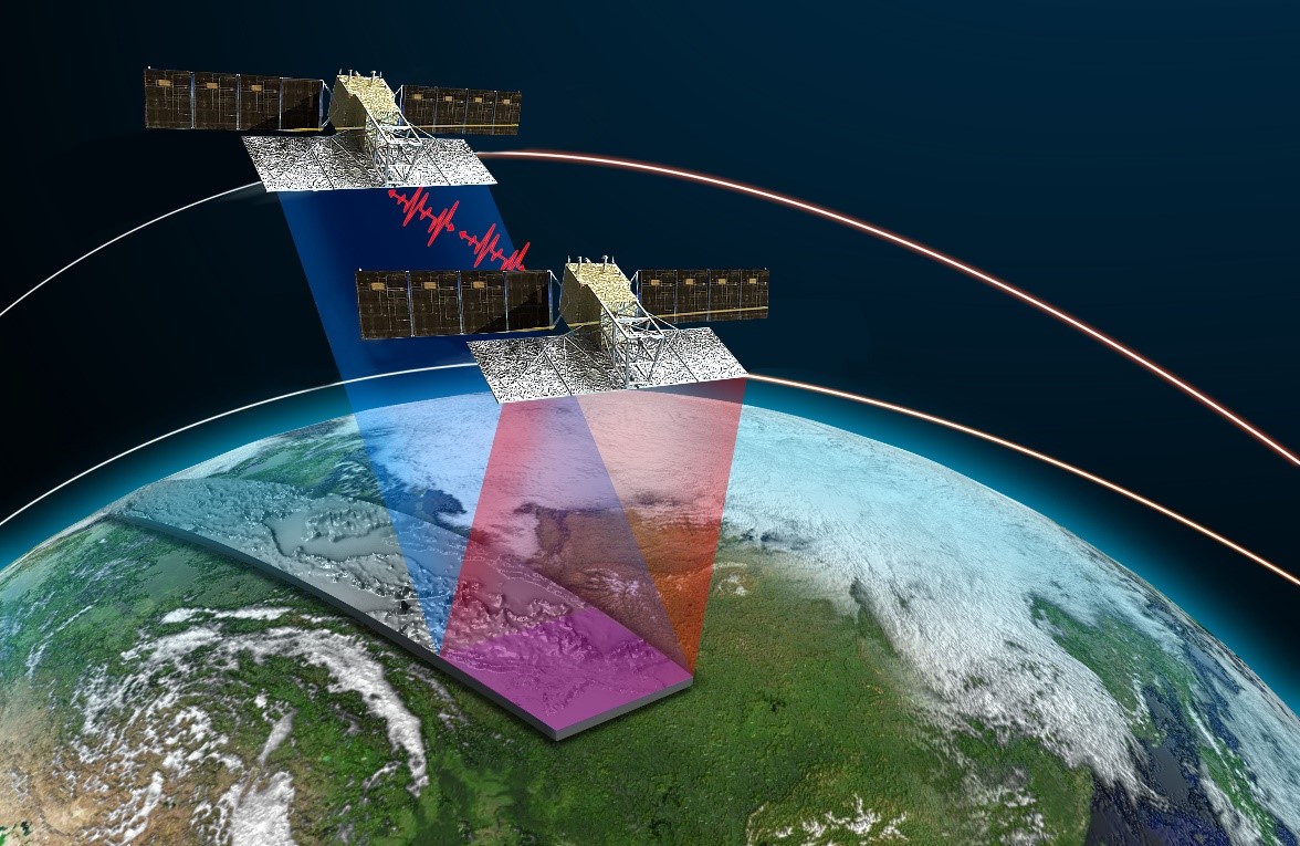 China's Land-observing Satellite Starts to Take Pictures
BEIJING, Feb. 11 (Xinhua) -- A Chinese remote-sensing satellite started to take pictures in its orbit, scientists in charge of the satellite said Friday.
14 Feb 2022

