AIR Conducts S-band Aerial Remote Sensing System Flight Test
At the end of May,an eight-member working group from the Microwave Microsystem Department of the Aerospace Information Research Institute (AIR) conducted an agricultural application flight test in Yushu, Jilin Province, using the S-band subsystem.
This test is the first agricultural census application test carried out in China under the support of a special flight calibration project led by the Airborne Remote Sensing Center. The experiment, combining the requirements of agricultural users for high standard farmland monitoring with farmland soil quality remote sensing investigation and evaluation, carried out flight calibration test in small and medium-sized flight platforms, and obtained original data and ground test data of load application flight calibration to verify and evaluate the application ability of the load.
S-band synthetic aperture radar (SAR) is one of the six sub-systems of multi-dimensional SAR system, capable of providing multi-polarization and multi-time equivalent information. It features high precision and quantitative measurement, and has a broad application prospect in the fields of agricultural census, disaster monitoring and urban surveying and mapping.
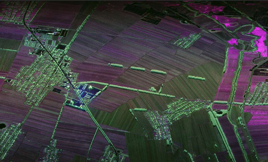
S-band image captured by the flight test.
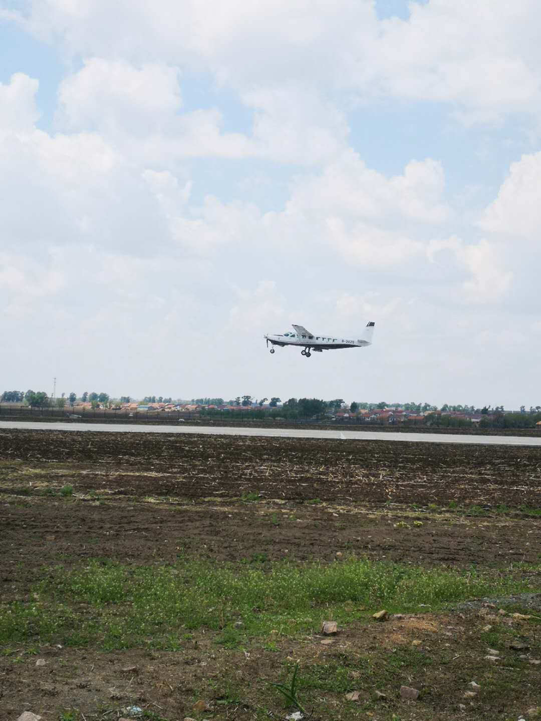
The ongoing flight.

The crew.
News & Events