AIR Holds Training Workshop on Geospatial Information for Agricultural Monitoring in Lower Mekong Basin Countries
A training workshop on “geospatial information applications for agricultural monitoring in Lower Mekong Basin countries” was held online from August 5 to 26, 2020, with the attendance of 47 people from the government agencies or research institutions of Cambodia, Myanmar, Thailand, and Vietnam, hoping to learn essentials and technologies such as Earth observations for crop monitoring, agro-climatic and agronomic indicators preprocessing, thematic mapping, and field data collection.
The workshop was hosted by CropWatch-ICP ( http://cloud.cropwatch.com.cn/ ) from the Aerospace Information Research Institute (AIR) , and jointly organized by the United Nations Economic and Social Commission for Asia and the Pacific (ESCAP), Alliance of International Science Organizations (ANSO) and Group on Earth Observations Global Agriculture Monitoring Flagship (GEOGLAM), with a goal to build resilient agricultural practices by integrating geospatial information for agricultural monitoring in the Lower Mekong Basin through providing technical support and utilizing the cloud platform for monitoring crop condition, crop stress, and production at national or sub-national levels for Lower Mekong countries.
The three-week event consisted of six plenary and parallel sessions, as well as homework practices. The lecturers consisted of renowned experts of the field. They are CropWatch team members and professors from the University of Chinese Academy of Sciences (UCAS).
The plenary session focused on such topics as the methodology, CropWatch Processing, Explore and Analysis components, and extended knowledge. The parallel sessions were organized to check and review the homework country by country. The schedule was flexible for each country depending on the availability of lectures and trainees. Homework practices included system registration, thematic maps generation at national or provincial scales, crop analysis at national or provincial scales, in-situ data collection and uploading, and country analysis.
The training courses were followed by discussions on next-stage work and plan. Field work and translation for customized CropWatch platform will be conducted with support of ESCAP, and more cooperation practices will be carried out to address the specific requirements from the individual countries.
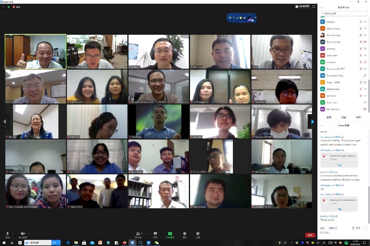
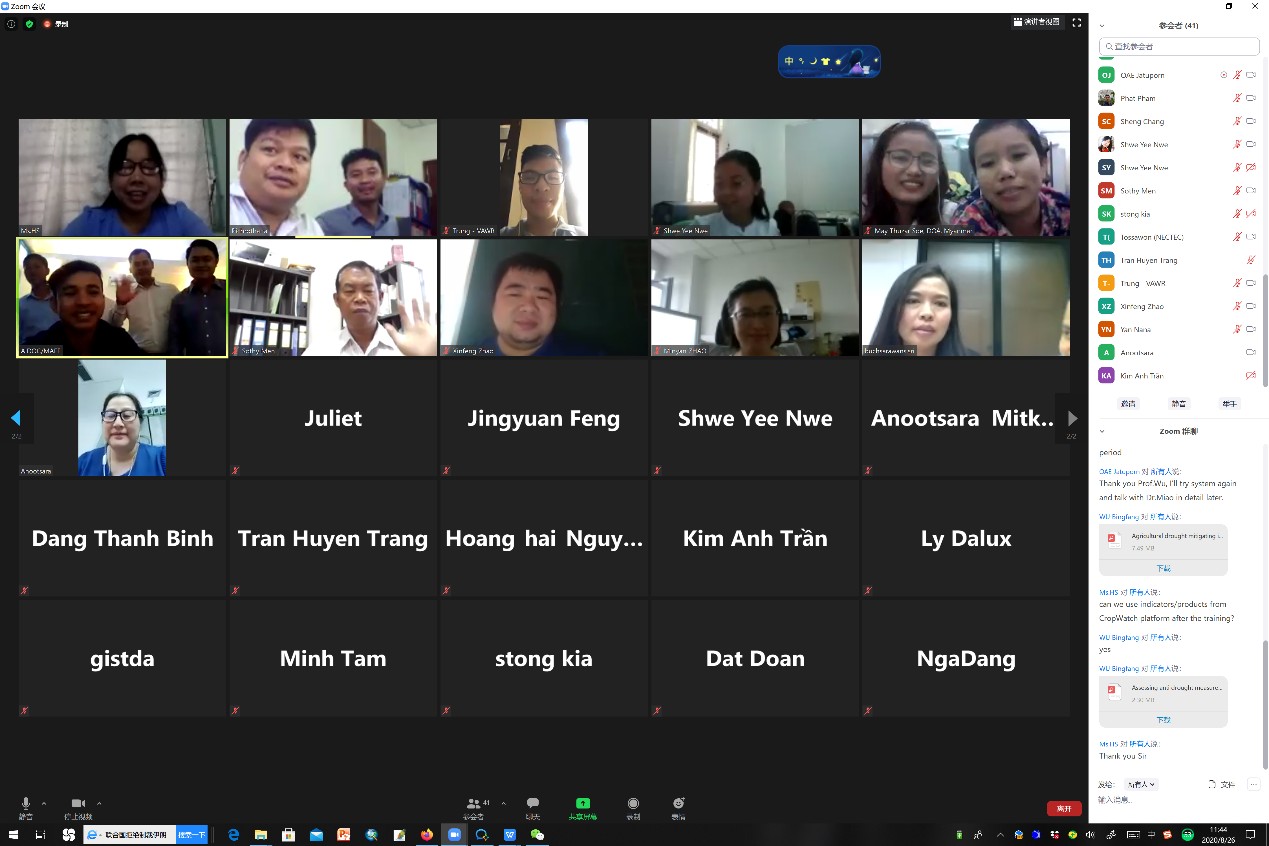
Snapshots of the online workshop.
News & Events