-
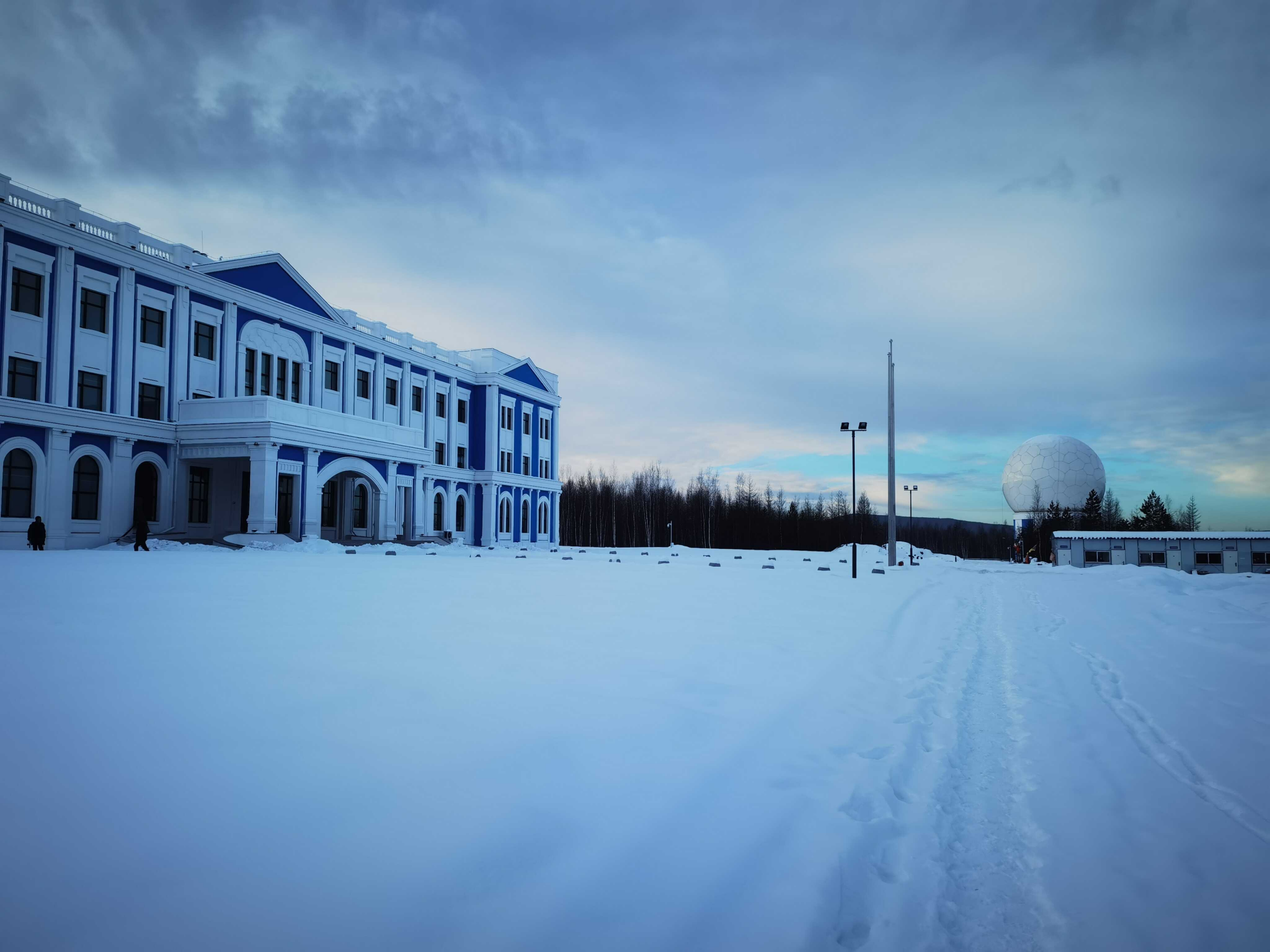
China's Northernmost Satellite Data Receiving Station Put into Operation
BEIJING, Dec. 12 (Xinhua) -- China's northernmost satellite data receiving station officially commenced operations on Friday, according to the station's developer, the Aerospace Information Research Institute under the Chinese Academy of Sciences.
Dec 15, 2025
-
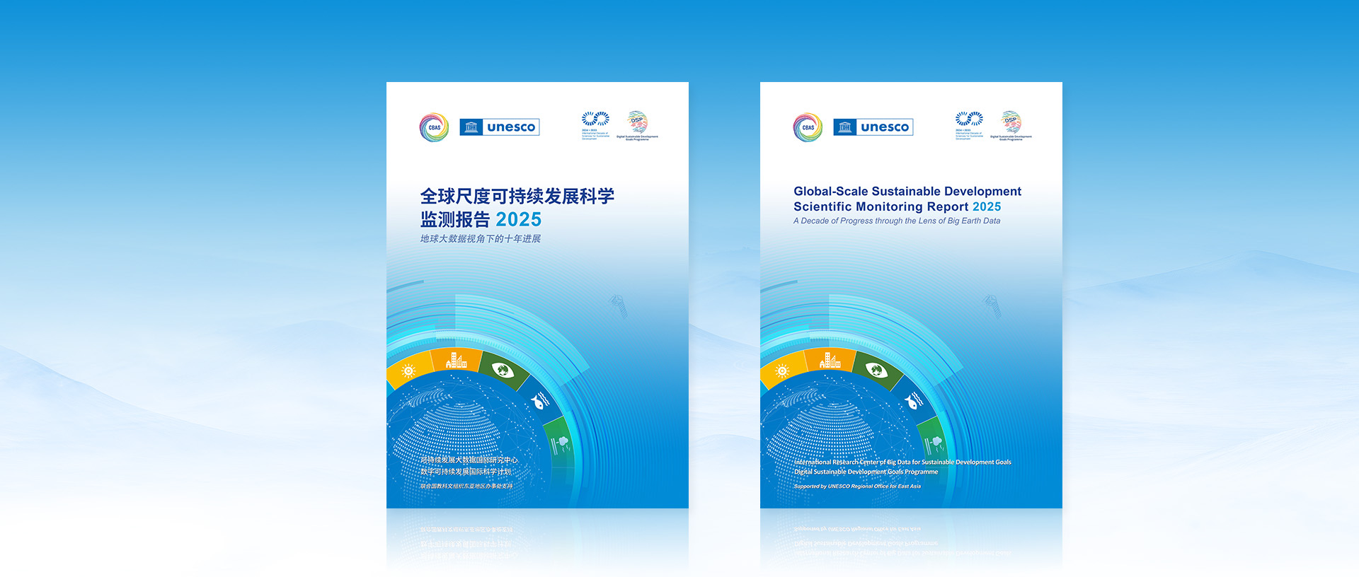
Breaking Limits of Traditional Data: Big Earth Data Provides Precise Diagnosis of a Decade of Global Sustainable Development
Global progress toward the United Nations Sustainable Development Goals (SDGs) has stalled and, in many areas, regressed over the past decade, according to a new report released on October 27, 2025, at the World Science and Technology Development Forum. The Global-Scale Sustainable Development Scientific Monitoring Report (2025): A Decade of Progress through the Lens of Big Earth Data provides a detailed global assessment, revealing that only one of 18 SDG indicators was on track since 2015.
Oct 28, 2025

-
Tethered Balloon Experiment Successfully Carried out in SW China's Xizang
NYINGCHI, Sept. 20 (Xinhua) -- Chinese scientists recently carried out the "Jimu-1" tethered balloon atmospheric observation experiment in Lulang, Nyingchi, southwest China's Xizang Autonomous Region, which is expected to provide a new perspective for unraveling the mysteries of the Qinghai-Tibet Plateau ecosystem.
Sep 21, 2025

-
China's Xixia Imperial Tombs Inscribed as UNESCO World Heritage Site, Backed by Scientific Support
The Xixia Imperial Tombs in northwest China were officially inscribed on the UNESCO World Heritage List on July 11, 2025, during the 47th session of the World Heritage Committee held in Paris. This designation marks China's 60th World Heritage site and underscores the site's exceptional value in understanding the Tangut people, the Xixia Dynasty (Western Xia, 1038–1227), and the formation of China's unified multi-ethnic nation.
Jul 22, 2025

-
Rare Archives Unveil History of China's Airborne Remote Sensing Innovation
BEIJING, July 2 (Xinhua) -- Over 400 archival items illuminating China's journey to become a global force in airborne remote sensing are going on public display in Beijing, showcasing four decades of innovation spearheaded by the Chinese Academy of Sciences (CAS).
Jul 02, 2025

-
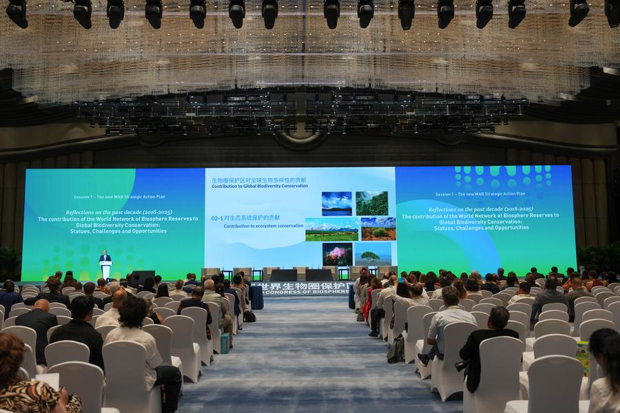
HIST Showcases Space Technologies for Biosphere Reserve Protection at 5th World Congress of Biosphere Reserves in Hangzhou
The International Centre on Space Technologies for Natural and Cultural Heritage (HIST) under the auspices of UNESCO highlighted its achievements in applying space technologies to support the conservation of World Biosphere Reserves at the 5th World Congress of Biosphere Reserves, held in Hangzhou, China, from September 22–25, 2025.
Sep 30, 2025
-
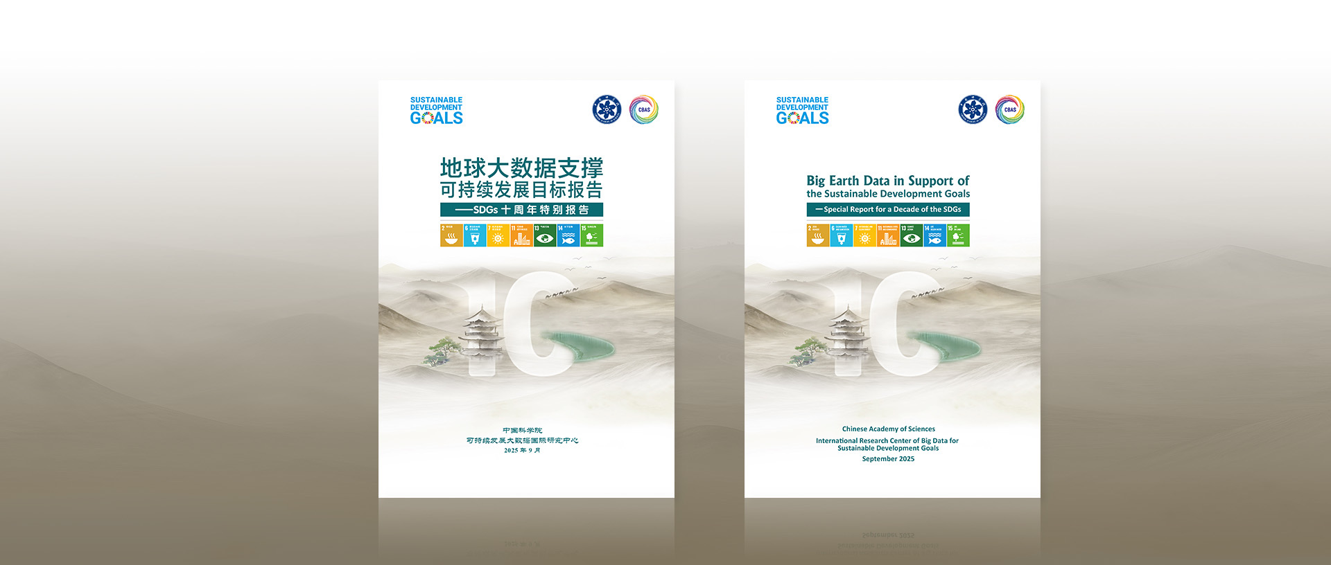
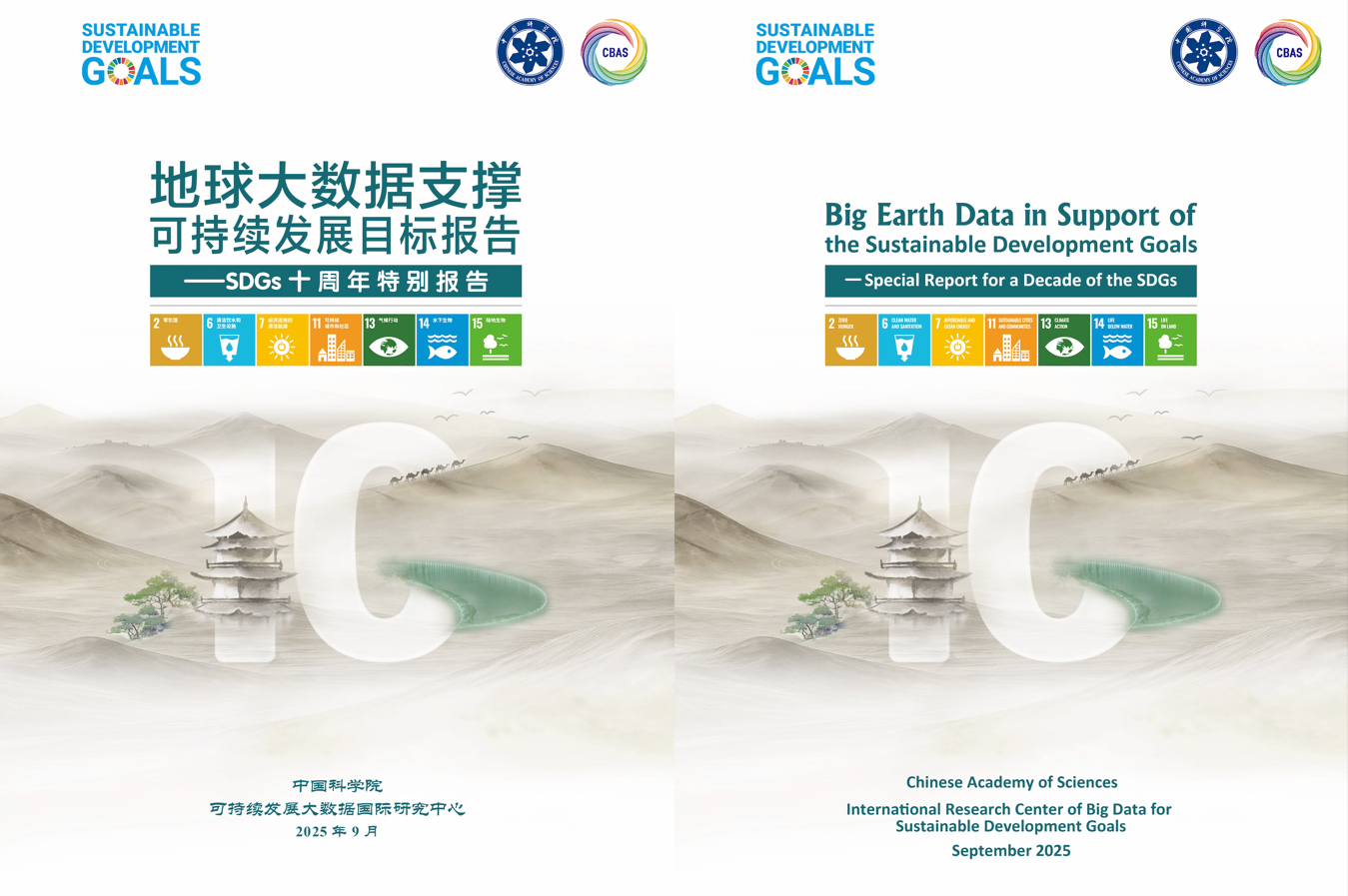
Ten Years of SDG Progress Globally and in China: Insights from Big Earth Data
Leveraging Big Earth Data, this report examines seven SDGs—Zero Hunger (SDG 2), Clean Water and Sanitation (SDG 6), Affordable and Clean Energy (SDG 7), Sustainable Cities and Communities (SDG 11), Climate Action (SDG 13), Life Below Water (SDG 14), and Life on Land (SDG 15)—along with integrated evaluations and SDG interactions, summarizing global and China's progress over the past decade. Globally, these SDGs are seriously off track: of 59 indicators assessed, only 10 (16.9%) are on track, 27 have progressed slowly, 5 have stalled, and 17 have regressed. Meanwhile, China has made significant progress, with 141 of 233 indicators (60.5%) achieved or close to target as of 2024.
Sep 30, 2025
-
Nation Leads Global Green Energy Growth
China is on track to achieve the targets set in the United Nations' 2030 Agenda for Sustainable Development, with breakthroughs in many key areas showing a positive impact on global progress, according to a report released on Saturday. Over the past decade, China has attained dynamic monitoring of more than 90 percent of the Sustainable Development Goal indicators, with 60.5 percent of them close to or already achieved as of 2024, thereby forming a synergistic model of technology, policy and governance, the report said.
Sep 29, 2025
-
China Achieves Significant Progress on Sustainable Development Goals: 60% of Indicators Close to or Meet 2030 Targets
China has made remarkable strides toward the Sustainable Development Goals (SDGs), with 60.5 percent of its 233 tracked indicators either on track or already achieved, according to the Big Earth Data in Support of the Sustainable Development Goals: Special Report for a Decade of the SDGs ("the Report"), released on the UN website on September 27, 2025. In contrast, global progress remains uneven, with only 16.9 percent of 59 monitored indicators on track to meet 2030 targets, 27 advancing slowly, five stalled, and 17 regressing.
Sep 28, 2025
-
Xinhua Headlines: China's Ecological Push in Focus as UNESCO Biosphere Program Outlines Future Roadmap
HANGZHOU, Sept. 25 (Xinhua) -- Two landmark outcome documents were adopted at the 5th World Congress of Biosphere Reserves, charting the course for the UNESCO Man and the Biosphere (MAB) Programme over the next decade.
Sep 26, 2025
-
Global Experts Discuss Pathways to Biosphere Reserve Conservation, Sustainable Development
HANGZHOU, Sept. 23 (Xinhua) -- Some 4,000 delegates from over 150 countries and regions gathered in Hangzhou, capital of east China's Zhejiang Province, for the 5th World Congress of Biosphere Reserves and discussed ways to protect biosphere reserves and achieve sustainable development.
Sep 24, 2025

-
Researchers Accurately Monitor Urban On-Road Carbon Emissions based Panoptic-AI Technique
BEIJING, Sept. 14 (Xinhua) -- Chinese researchers have developed a hybrid framework to trace sources and change of on-road carbon dioxide emissions in real time with 30-meter resolution, according to a research article recently published in the journal Sustainable Cities and Society.
Sep 14, 2025
-
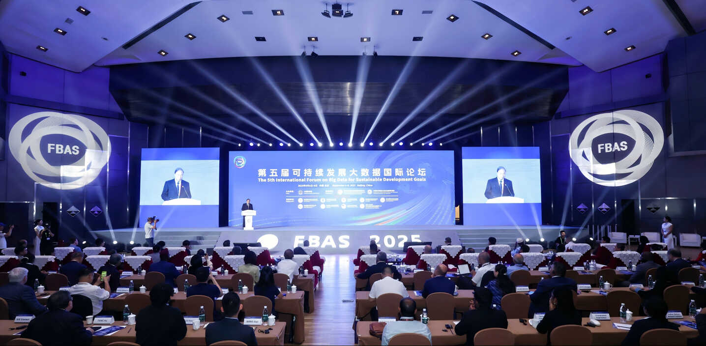
FBAS 2025 Launches AI Model for UN Sustainable Development Goals
On Sept. 6, the Fifth International Forum on Big Data for Sustainable Development Goals (FBAS 2025) opened in Beijing. The world's first large-scale artificial intelligence model designed to support the United Nations Sustainable Development Goals (SDGs) was unveiled.
Sep 10, 2025
-
Global Scientists Discuss the Role of Big Data in Advancing UN Goals
Global scientists met in Beijing to discuss how big data can advance the United Nations' Sustainable Development Goals, emphasizing the need for global cooperation to speed up progress.
Sep 08, 2025
-
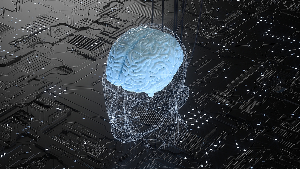
China's Brain Chip Tech Achieves Tumor Localization Breakthrough
A Chinese-led team has reported a breakthrough in brain-computer interface (BCI) technology after completing the first-ever clinical trial to precisely locate deep-seated brain tumors using implanted microelectrode arrays. In the world's first trial of its kind, conducted by the Aerospace Information Research Institute of the Chinese Academy of Sciences and the First Affiliated Hospital of Harbin Medical University, a glioma patient experiencing speech difficulties due to tumor compression showed significant improvement in language ability after surgery guided by BCI technology. The core innovation lies in the BCI device, called "NeuroDepth," which provides real-time navigation for tumor boundary detection, enabling accurate resection while protecting healthy tissue. Unlike traditional electrodes that capture only surface signals, NeuroDepth can record activity from the cortex to deep brain regions and monitor neurotransmitters, offering more detailed data. "It has broken through the limitation of traditional neural electrodes, which could only detect signals from cortical based tumors," said Wang Mixia, an associate researcher of the Aerospace Information Research Institute. "Our electrodes can capture neural signals across the entire brain, from the cortex to subcortical regions and even deep brain structures. They are capable of not only detecting neuro-electrophysiological signals but also monitoring neurotransmitter signals, providing more precise information," Wang said. Researchers say the technology could advance treatment of gliomas and brain metastases, which are difficult to remove due to unclear boundaries. They also plan to expand applications, including BCIs to restore vision and hearing, and endovascular interfaces to support motor recovery in paralyzed patients.
Sep 01, 2025
News & Events