

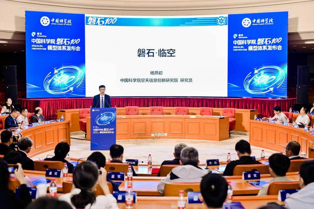

Researchers from the Aerospace Information Research Institute, Chinese Academy of Sciences, have developed a new radiative transfer model named CARE-RTM that simulates the propagation of sunlight through the atmosphere and ocean with improved precision and computational speed. CARE stands for Cloud Remote Sensing, Atmospheric Radiation and Renewable Energy Application, reflecting the model's broad coverage of key research areas in Earth observation. The model provides a physical tool for extracting climate and environmental information from satellite data. The findings are published in Advances in Atmospheric Sciences.

A new machine-learning algorithm could help meteorologists detect heavy rainfall more accurately and in near real time using China's Fengyun-4B geostationary meteorological satellite. Developed by a research team led by Associate Professor JI Dabin from the Aerospace Information Research Institute of the Chinese Academy of Sciences (AIRCAS), in collaboration with Associate Professor BAO Shanhu from Inner Mongolia Normal University and XIE Yanhui from the Institute of Urban Meteorology, China Meteorological Administration, the algorithm addresses two persistent challenges in satellite-based precipitation monitoring: limited information beneath cloud tops and a severe imbalance between rainy and non-rainy samples.
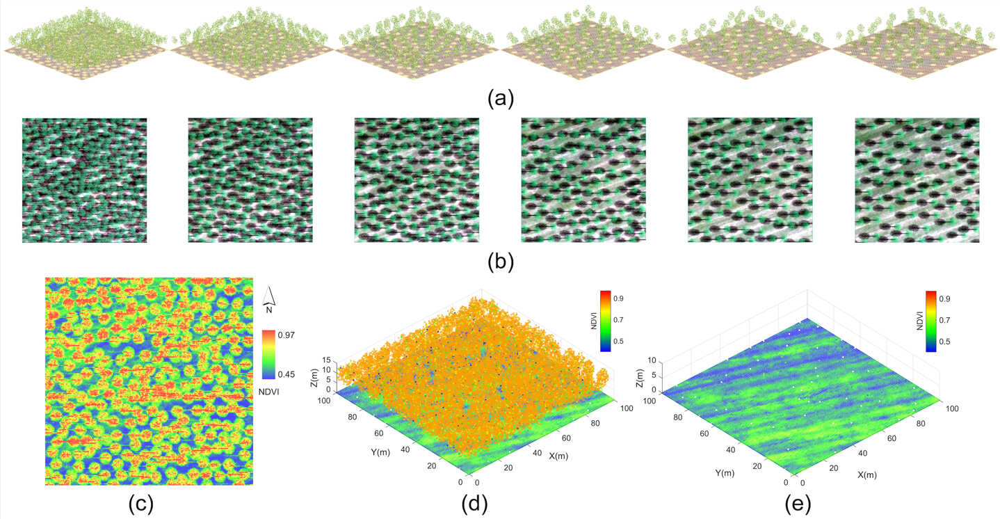
Hyperspectral LiDAR can recover soil spectral information from beneath vegetation canopies and help estimate key soil properties, according to a study published in Remote Sensing of Environment. The findings offer a new approach to monitoring soils in vegetated areas, where exposed ground is often limited or unavailable.


- 17 Aug 2026 FIRST ANNOUNCEMENT and CALL FOR SESSIONS and ABSTRACTS for DBAR2026 and ISEO2026 August 17–21, 2026 Cholpon-Ata, Issyk-Kul Region, Kyrgyz Republic
- 16 Jul 2025 PIFI Seminar: A Threefold Approach for Acceleration of Sustainable Development Goals and Their Modelling B801, Aerospace-B July 17, 2025
- 11 Jul 2025 PIFI Seminar: Perspectives of Ecosystem Restoration from Central Europe with Particular Regard of Forests and Urban Environments Olympic Park Campus July 15, 2025


- Profile
- Leadership
- People
- Campuses
- Visiting AIRCAS
- Contact Us
About AIRCAS
- Research News
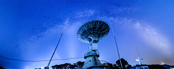
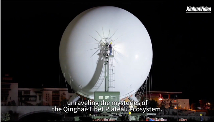
- Big Science Infrastructure
Research
- Overview
- CAS Members
People
- Focus on
- Research News
- News Updates
- Events
Newsroom
- ChinaGEO
- CASEarth Data
Data Services
- Publications
- Multimedia


